Claude Playbook

Agentic GIS for Claude

See how CARTO turns Claude into a spatial analyst connected to your own data in your own cloud, so drive-time maps, population counts, and hazard checks happen in the conversation you already have open, and become a fixed Workflow you can trust.

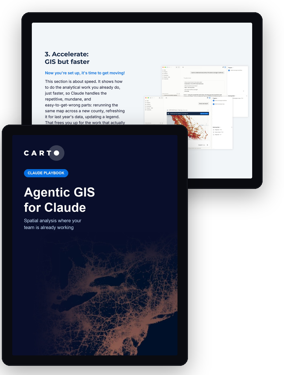
Pages from the Agentic GIS for Claude playbook

You already use Claude to draft, analyze, and decide. Spatial questions are the exception: where you're not covered, who lives near the risk, which sites are affected right now. Answering them still means leaving the conversation, opening specialist GIS software, and waiting for someone who knows the toolbox.

Agentic GIS closes that gap. Connect Claude to CARTO and spatial analysis happens in the chat you already have open, against your own data, in your own cloud. Every analysis becomes a fixed Workflow you can inspect, so the answer is the same, and auditable, every time you ask.
What's inside

What Agentic GIS actually is

How it differs from simply adding a chat window to legacy GIS tools.

How CARTO connects to Claude

Set up the CARTO MCP Server connection in a few steps, no code required.

A full step-by-step tutorial

Build a service-accessibility analysis in Claude, from your first login to a live tool your whole team can use on demand.

Real customer results

How organizations are already putting Agentic GIS to work.

Get the Playbook

A step-by-step guide to running governed spatial analysis in Claude, connected to your own data.