REPORT
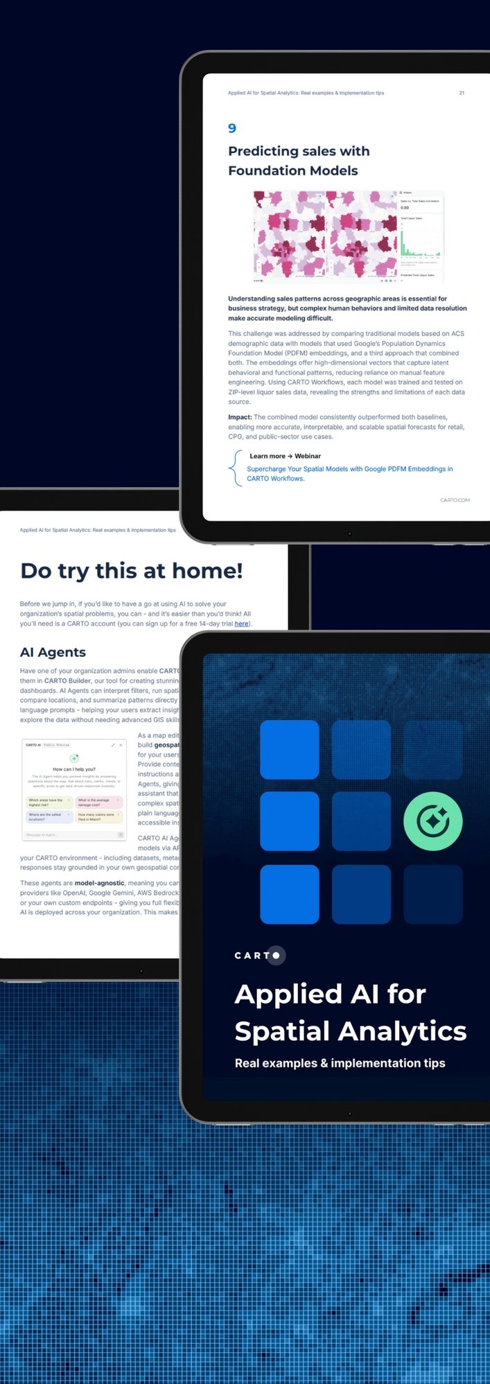
Applied AI for Spatial Analytics
Real examples & implementation tips
It’s hard to escape the hype around AI in geospatial right now. But if you’ve ever found yourself thinking, “This sounds impressive… but I still don’t see how it helps me solve the problems I’m facing today,” you’re not alone.
In fact, in 2024’s State of Spatial Data Science report, more than 25% of organizations said they aren’t using AI in their spatial work at all. For many, the challenge isn’t technical - it’s strategic.
If you’ve ever found yourself thinking any of these things, then this report has you covered! Applied AI for Spatial Analytics is a practical guide to help you get started.
You’ll learn:
● 10 ways AI is already solving spatial problems across industries
Explore examples in telecom, insurance, energy, retail, and logistics that are using AI to reduce costs, speed up decisions, and uncover insights faster.
-
● What’s possible with AI and geospatial reasoning in CARTO
Discover how tools like AI Agents, low-code Workflows, and foundation model extensions can be used to simplify analysis overall.
● 6 best practices for AI spatial decision making
Guidance to help you apply AI more effectively and responsibly in your spatial workflows.
● A simple glossary to demystify the terminology
Not sure what counts as AI, ML, or an agent? The glossary breaks down key terms so you can navigate this space with more clarity.
Get the clarity, examples, and tools you need to bring AI into your spatial analysis and overall strategy.

