REPORT
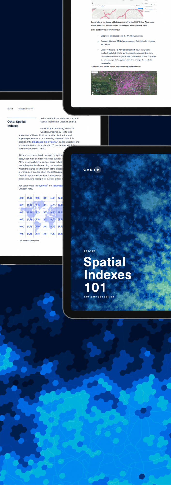
Spatial Indexes 101 - The low-code edition
Learn how organizations achieve faster queries and lower storage needs with Spatial Indexes.
As working with terabytes or even petabytes of data becomes the norm, managing large spatial datasets calls for more modern techniques and tools.
That's where Spatial Indexes come in.
Indexes like H3 and Quadbin use less storage and allow you to process data faster because they use compact reference strings instead of complex geometries, making data visualization easier and more seamless.
Ready to learn more? This new edition of Spatial Indexes 101 covers everything from what Spatial Indexes are, their advantages and limitations, and how to get started. It's packed with low-code tutorials and guides for data professionals who prefer to work with spatial data without heavy coding.
Start reading to discover:
- ● How organizations are using Spatial Indexes to scale their data analysis and reduce costs.
- ● The different types of Spatial Indexes, as well as how to select the right type and resolution for your needs.
- ● How to unlock advanced data science techniques with Spatial Indexes, including data enrichment, spatial statistics, and creating custom scores for more precise insights.
And much more!

