RECORDED WEBINAR

Using CARTO & Databricks for Spatial Data Science

Borja Muñoz
Product Manager at CARTO

Raela Wang
Technical Manager at Databricks


Product Manager at CARTO

Technical Manager at Databricks
According to The State of Spatial Data Science in Enterprise, only 1 in 3 Data Scientists have expertise in spatial analysis. With location data from IoT ecosystems, GPS devices and payment transactions growing exponentially - Data Science professionals from a wide range of verticals are turning to new technologies to speed up the spatial modeling process.
In this webinar, we're joined by Borja Muñoz (Product Manager at CARTO) and Raela Wang (Technical Manager at Databricks) to explore examples where Databricks and CARTO come together as part of the collaborative Data Science process. We cover:
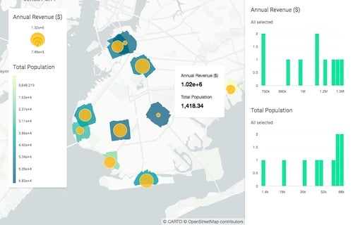
- How to visualize spatial data within a Databricks notebook using our Python package (CARTOframes), rapidly creating stunning data visualizations of Big Data sets.
- A case study focusing on such workflows can be used in Logistics and Supply Chain optimization.

A PDF of the slides of the presentation is also available to download here.