Borja Muñoz
Product Manager at CARTO

Tomas Ehrenfeld
Solutions Engineer at CARTO
Product Manager at CARTO
Solutions Engineer at CARTO
CARTO’s cloud native Location Intelligence platform enables developers to rapidly build geospatial apps and create stunning map visualizations.
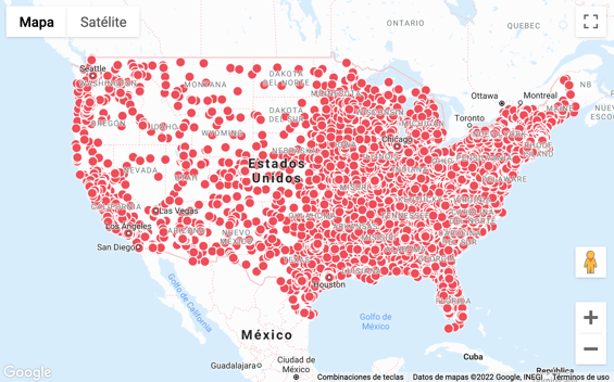
In this webinar, we showcase how CARTO seamlessly integrates with Google Maps and how developers can unlock the advanced visualization capabilities of deck.gl and CARTO for React to create insightful and engaging map-based experiences.
Using a practical demo we also outline how the CARTO platform can visualize massive location-based datasets and run complex spatial analytics, natively in the cloud.
What you'll learn: