With the spread of COVID-19, almost everyone is talking about pandemic-related statistics, regularly sharing line graphs, bar charts & maps to raise awareness. However, within the broader field of epidemiology there are a subset of researchers who focus specifically on how spatial components can affect public health.
In this webinar, we are joined by three experts from leading academic institutions:
- - Paula Moraga develops innovative statistical methods and computational tools for public health surveillance including spatio-temporal models for disease risk prediction, cluster detection, and travel-related spread of disease. Her work has directly informed strategic policy in reducing the burden of diseases such as malaria and cancer in several countries.
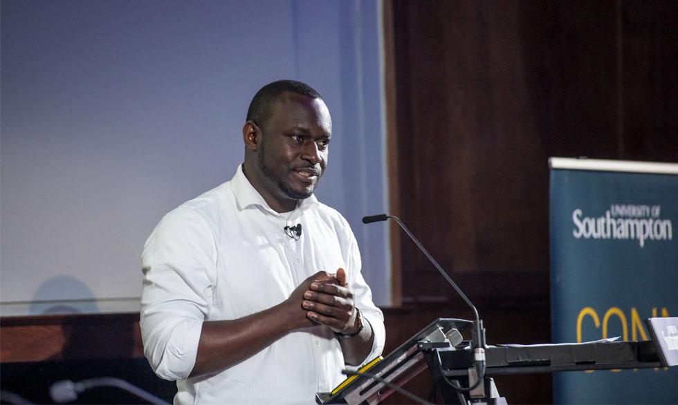
- - Chigozie Edson most recent work looks at geospatial variation in measles vaccine coverage through routine & campaign strategies in Nigeria.
- Andy South works with spatial data to inform public health operations in low income settings. He develops open-source software and delivers training for operational staff. He's leading a new project, afrimapr, to make open health data more usable in Africa.
Moderated by Florence Broderick, we discuss topics such as:
- What kinds of new data streams are being used in epidemiology research
- Typical Spatial Data Science workflows used to investigate pandemics
- - How research institutions interact with governments during pandemics to inform policy
- - How data journalists interact with research work
A pdf of the slides of the presentation is also available to download here.
.jpeg)